Hiking Trail
Hike through the Partnachklamm Gorge and back via Mount Graseck
This easy circular tour leads you through the impressing nature of the Partnachklamm gorge - a unique adventure for the whole family.
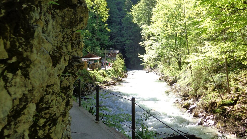
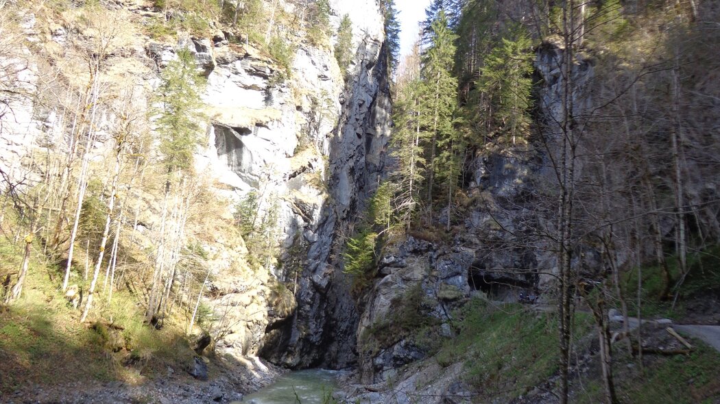
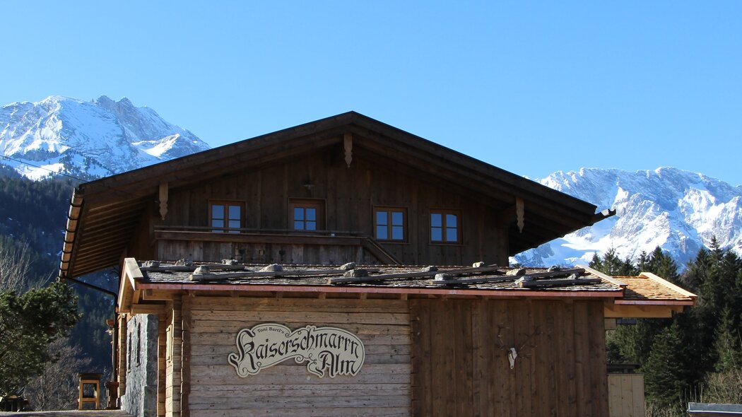
Start your hike towards the Partnachklamm at the Olympia Skistadion and follow the street in the upstream direction along the Partnach stream. On your right hand side you will see crosses to remind us of those who have died here in accidents. If you continue your way, you will soon pass the base terminal of the Graseck cable car. Only a short distance after the base terminal, an asphalted path will lead you to the entry of the Partnachklamm. Now, your way continues directly along the Partnach, and will lead you over small bridges and through tunnels and galleries. The path was made safe everywhere so that you can enjoy the fantastic views into the deeply cut gorge and up to the sky where the sunlight is reflected in the spray and drops of water. Towards the end of the gorge, the Partnach becomes a broader river valley. You can rest there on one of the benches and enjoy the view of the river valley before turning back and returning to the starting point at the Olympic ski station. Alternatively, you might decide to hike over Mount Graseck. In this case, you have to hike further after the end of the gorge until a sign to the left shows you the way to "Eckbauer/Graseck”. Follow this climb and you will arrive at the mountain farms of Mount Graseck. Here, you will have the possibility to stop for a bite to eat or refreshments, as you have clearly earned it. For your return trip, leave Graseck along the road that winds steeply downward until you reach the path through the Wildenau, which you already used on your ascent. Now that you know your way back to the Olympia Skistadion, you will reach it soon.
Characteristics
condition
technology
experience
landscape
best seasons
January
February
March
April
May
June
July
August
September
October
November
December
tour in numbers
route
6.2 km
duration
1:55 h
ascent
258 m
descent
258 m
lowest point
729 m
highest point
901 m
